A rapidly strengthening El Niño has a 75% chance of becoming the strongest on record. Federal forecasters say Northeast Florida faces elevated odds of flooding and severe weather during winter 2026-27.
The National Oceanic and Atmospheric Administration (NOAA) confirmed Thursday, Sept. 10 that El Niño strengthened further in August, with sea surface temperatures in the eastern Pacific running more than 3 degrees Celsius above normal. The agency placed the odds of a very strong event at greater than 90% for fall and winter 2026-27.
If the pattern reaches historic levels, it would exceed every El Niño event in NOAA's records dating to 1950. The agency raised that probability from 69% in August to 75% for the October-through-December period.
The World Meteorological Organization (WMO) said Sept. 3 that El Niño is expected to persist through February 2027.
"El Niño is being supersized before our eyes," UN Secretary-General António Guterres said in the WMO's Sept. 3 release. "The science leaves no room for doubt: the planet is in uncharted waters, and those waters are heating up."
What El Niño means for Ponte Vedra Beach
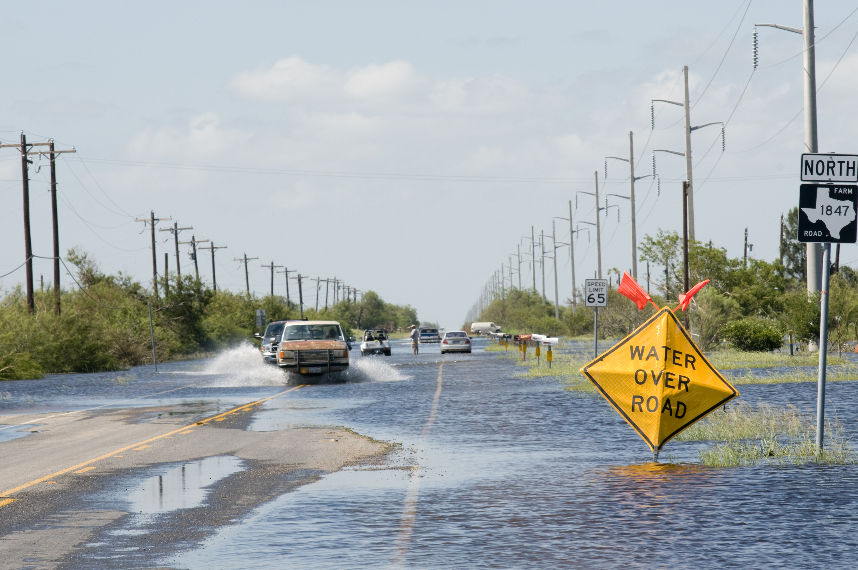
El Niño is a periodic warming of the central and eastern tropical Pacific that shifts weather patterns worldwide. For the Gulf Coast and Southeast, it means wetter conditions and increased flooding, according to NOAA's Ocean Service.
The numbers are stark. The National Weather Service office in Tallahassee reports that Florida has averaged 23.3 river flood events per year during El Niño phases, compared with 4.9 during neutral years. The strongest impacts on the Southeast tend to arrive in December, January and February, according to N.C. State University data reported by the Asheville Citizen-Times.
NOAA's winter outlook shows the chances of above-normal precipitation exceeding 60% across parts of the Southeast, as Patch reported. Wetter-than-average conditions along the Gulf Coast from Texas to Florida have occurred during more than 80% of El Niño events over the past century, according to NOAA data cited by the Citizen-Times.
National Weather Service meteorologist Jared Maples told Straight Arrow News that the speed of the buildup caught forecasters' attention, though the intensity itself was within expected range. Maples cautioned that a warm seasonal outlook does not eliminate cold fronts or sharp cold snaps during winter 2026-27.
Florida's El Niño history includes deadly storms
Previous strong El Niño events in 1982-83, 1997-98 and 2015-16 brought above-normal temperatures and increased severe weather to Florida during the second half of winter, WLRN reported. The 1997-98 event produced the deadliest tornado outbreak in the state's history: on Feb. 22, 1998, at least a dozen tornadoes killed 42 people and injured more than 260.
WLRN noted that because this El Niño could surpass all modern records, forecasters have no direct historical comparison for what Florida's winter could produce.
How Ponte Vedra residents can prepare
St. Johns County's Floodplain Management Department provides flood risk information and can connect residents with federal mitigation grants. The department can be reached at (904) 827-6800, option 6.
Standard homeowners insurance does not cover flooding. A separate flood insurance policy is required, and policies carry a 30-day waiting period, according to St. Johns County flood preparedness guidance.
Residents can sign up for Alert St. Johns emergency notifications or text "StJohnsEOC" to 888777 for Nixle SMS alerts.
NOAA's next El Niño update is scheduled for Oct. 8.





.jpg)